

Description
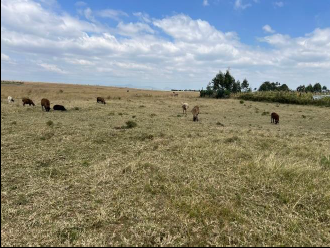
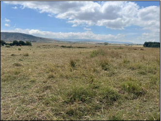
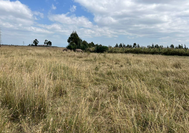
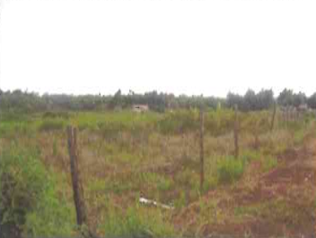
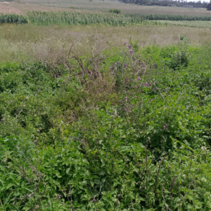
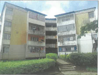
The subject properties are situated in Mirera area approximately 650 metres from Old Naivasha road (Naivasha – Maai Mahiu Highway) and about 16.2 kilometres from Naivasha Town, Nakuru County. The properties are situated to the North-eastern side of Mt. Longonot and to the Southern side of Naivasha Town.
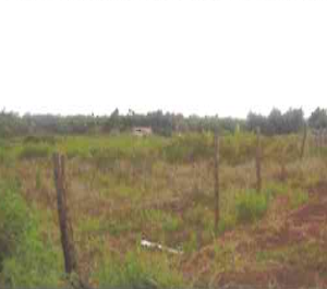
Electricity and water are available for connection. Water can also be obtained from sunk boreholes within the neighborhood. Sewer would be to a septic tank. The immediate access road is earth-surfaced while Old Naivasha road (Naivasha – Maai Mahiu highway) is tarmacked.
GPS Coordinates – 0°50’37.72″S 36°28’16.32″E
Size – Total Acreage is 1696Ha or 0.4192Acres


Reviews
There are no reviews yet.